Insurance and Assest Investigation

Aerial Vista Productions provides drone investigation and visual documentation services across British Columbia for insurance claims, asset inspections, property condition reviews, investor due diligence, construction disputes, and commercial investigations.
When clients need clear visual evidence, drones provide safe, efficient, and highly detailed documentation from perspectives that are difficult or impossible to capture from the ground.
Drone Visual Evidence for Insurance and Asset Review
Insurance, legal, investment, and asset management teams often need accurate visual documentation of real-world conditions. Drone imagery can provide a clear record of property, structures, land, damage, access routes, construction progress, and site conditions.
We support documentation for:
- Insurance claims
- Storm damage
- Fire damage
- Flood damage
- Roof damage
- Construction disputes
- Property condition review
- Asset due diligence
- Industrial site review
- Remote property documentation
- Investor reporting
- Before-and-after comparisons
- Encroachment or access documentation
- Environmental condition visuals
- Large commercial property review
Who We Help
Our drone investigation services support:
- Insurance adjusters
- Property owners
- Asset managers
- Investors
- Developers
- Legal teams
- Engineering consultants
- Restoration companies
- Construction companies
- Industrial clients
- Real estate professionals
- Private companies requiring visual documentation
Why Use Drones for Investigations?
Better Perspective
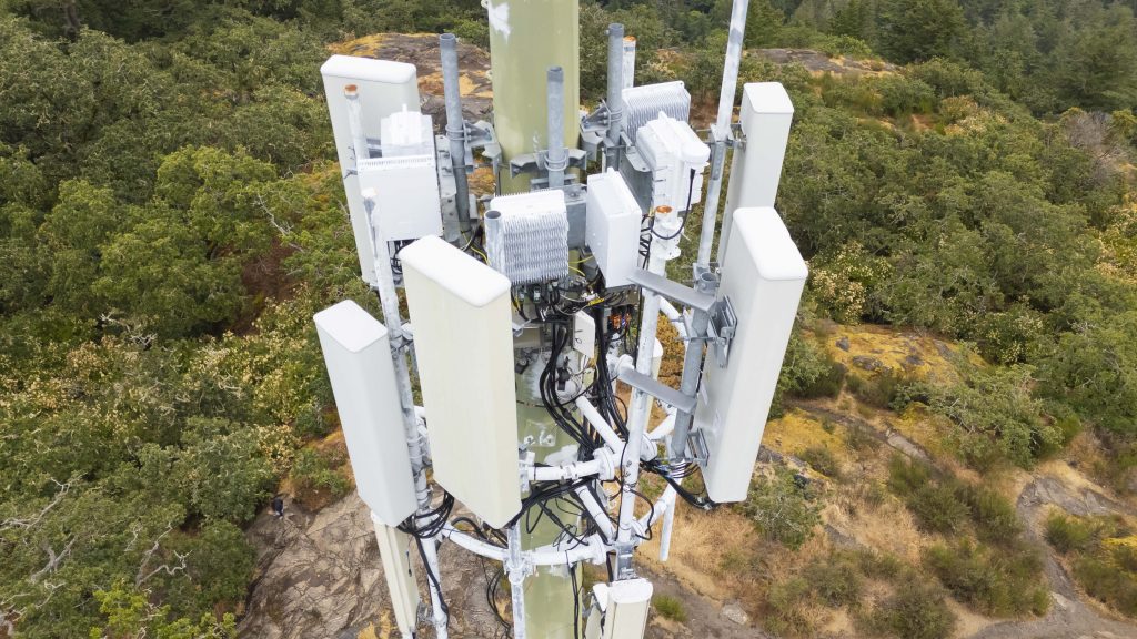
Drones capture rooftops, large properties, remote land, industrial sites, and difficult terrain from angles that ground photography cannot.
Safer Documentation
Drone imagery reduces the need to physically access damaged roofs, unstable structures, hazardous sites, or remote terrain.
Faster Site Review
Large areas can be documented quickly and efficiently.
Stronger Visual Records
Photos and videos can be organized by date, location, asset, or issue to support claims, reports, and decisions.
Before-and-After Comparisons
Recurring drone flights can document changes over time.
Types of Investigation Documentation
Insurance Claims
Document property damage, roof conditions, flooding, fire damage, storm impacts, and surrounding site conditions.
Asset Management
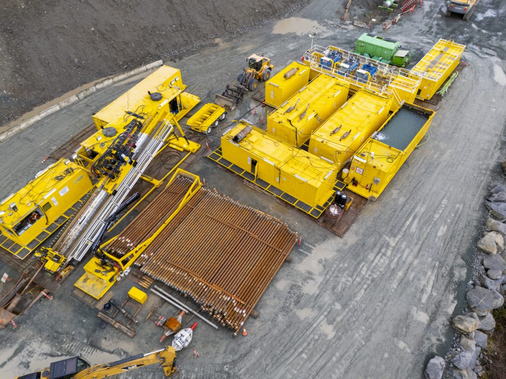
Capture visual records of commercial buildings, industrial assets, land, equipment yards, and remote properties.
Investor Due Diligence
Provide visual documentation to support acquisition, investment, financing, or risk review.
Construction Disputes
Document site progress, deficiencies, access issues, damage, materials, and current project conditions.
Commercial Property Review
Capture exterior building conditions, roof areas, parking lots, drainage, surrounding land, and access routes.
Deliverables
Depending on project scope, we can provide:
- High-resolution aerial photos
- Close-up inspection images
- 4K/8K drone video
- Thermal imagery where applicable
- Annotated images
- Before-and-after comparisons
- Damage documentation photo sets
- Organized evidence folders
- Date-stamped visual records
- Summary reports
- Client-ready documentation packages
Important Note
Aerial Vista Productions provides aerial visual documentation and drone-based evidence collection support. We do not provide legal conclusions, engineering conclusions, insurance coverage decisions, or formal property valuations. Our imagery is designed to support qualified professionals in their review.
Why Aerial Vista Productions?
Clients trust Aerial Vista Productions for professional aerial documentation because we combine drone experience, photography expertise, safety planning, and commercial field judgment.
We provide:
- Licensed and insured drone operations
- Professional visual documentation
- Experience with commercial, industrial, and remote sites
- High-quality photo and video deliverables
- Thermal imaging options
- Organized image delivery
- BC-wide service capability
- Discreet, professional project handling
Need drone documentation for an insurance claim, asset review, or investigation in BC?
Contact Aerial Vista Productions to discuss the property, claim, site conditions, and documentation needs.
Request an Investigation Drone Quote
FAQ
Can drone photos be used for insurance documentation?
Yes. Drone photos can support insurance documentation by showing property damage, roof conditions, site context, and before-and-after conditions.
Can you document roof damage?
Yes. We can capture aerial photos, close-up roof imagery, and thermal images where appropriate.
Can you help with investor due diligence?
Yes. Drone documentation can support asset review, site condition assessment, property acquisition research, and investment decision-making.
Do you provide legal opinions?
No. We provide visual documentation. Legal, engineering, insurance, or valuation conclusions should be provided by qualified professionals.
Can you work discreetly?
Yes. We can handle commercial documentation projects professionally and discreetly, while following applicable laws, permissions, and drone regulations.