Oil, Gas, Pipeline & LNG Facility Inspections —
Photos, Video & Thermal Surveys
Reduce downtime, improve safety, and meet regulatory requirements with high-resolution aerial photography, video and thermal inspection services tailored for oil & gas infrastructure, pipelines and LNG terminals.
Our Aerial Inspection Services:
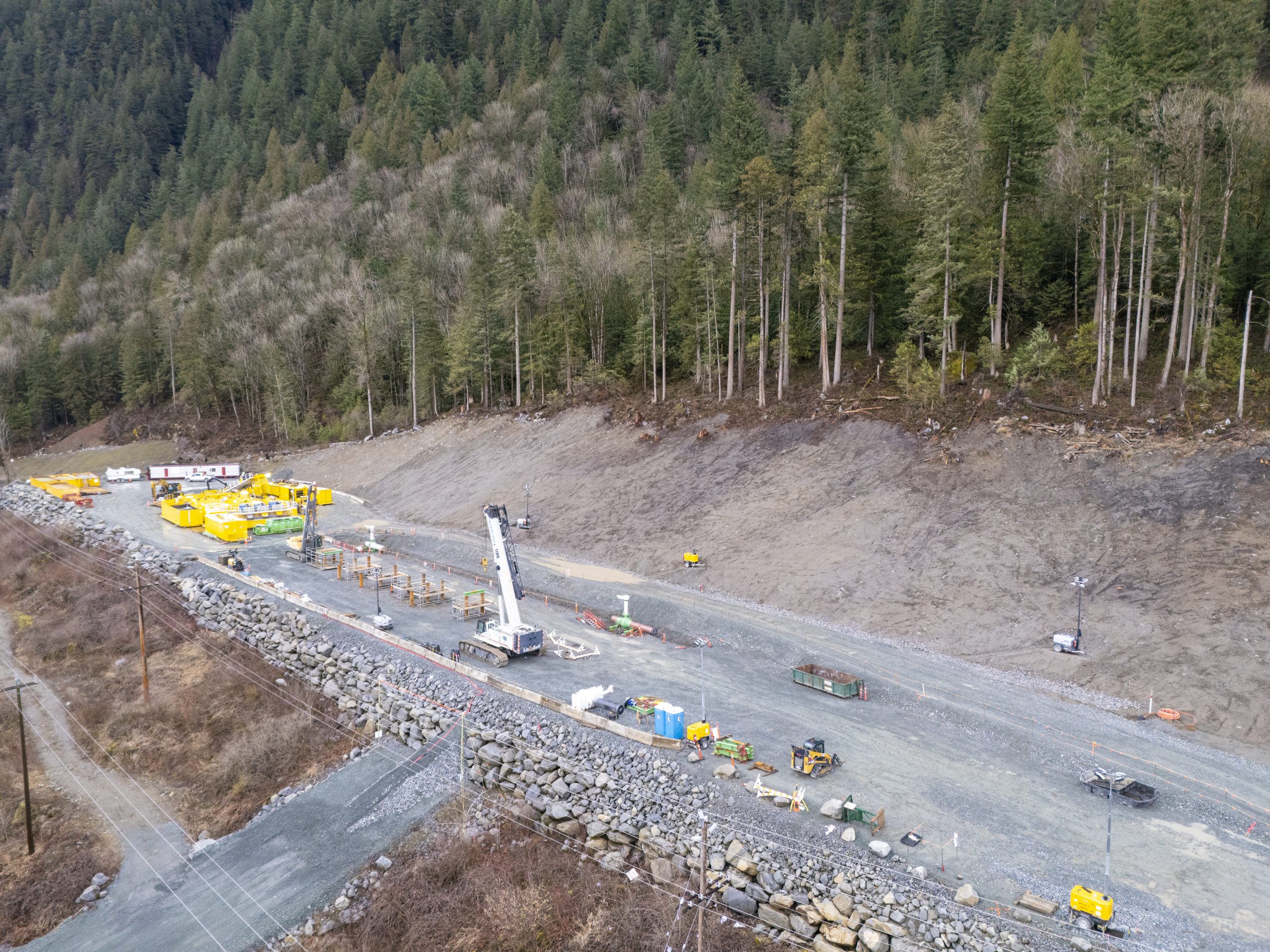
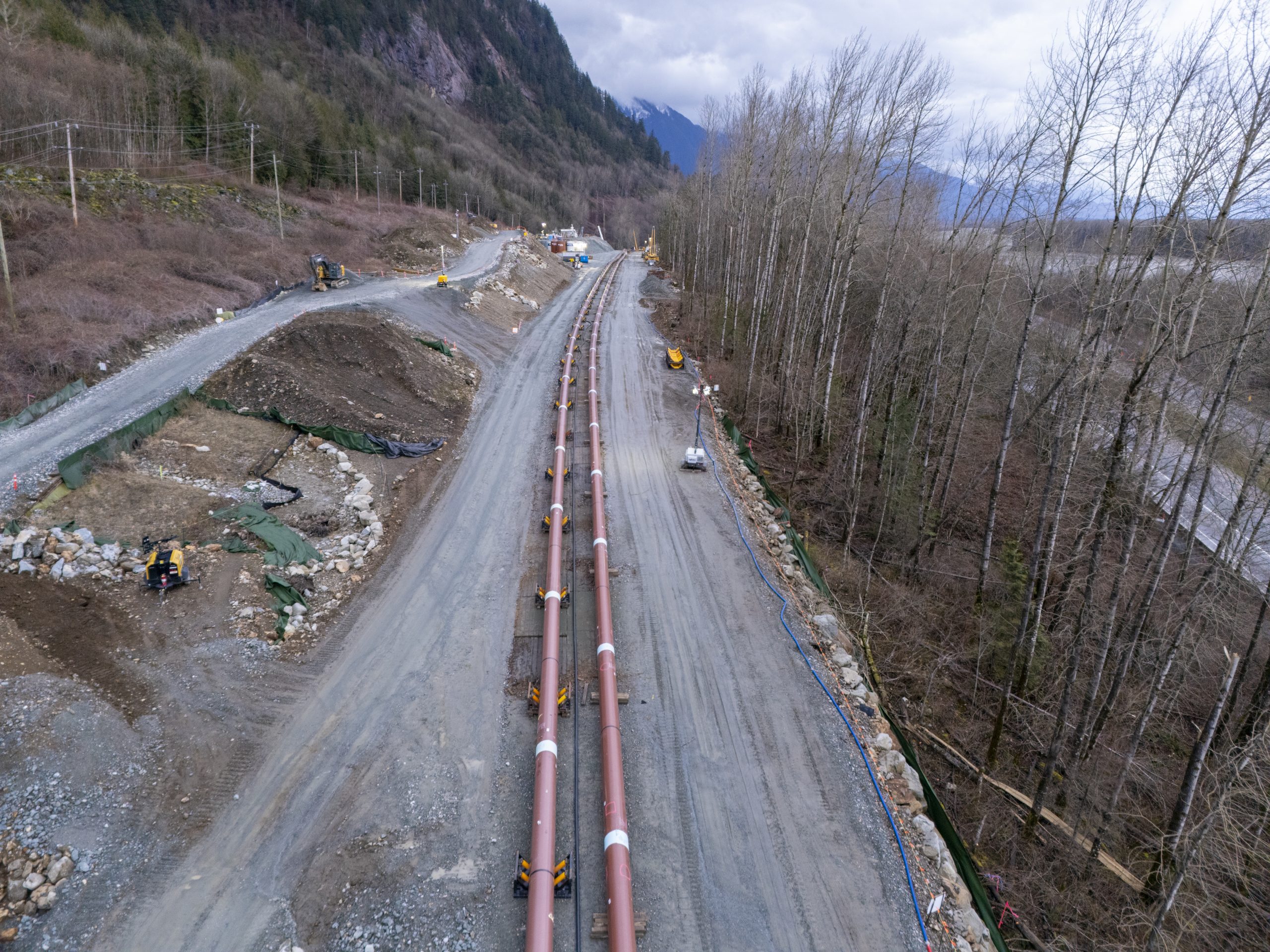
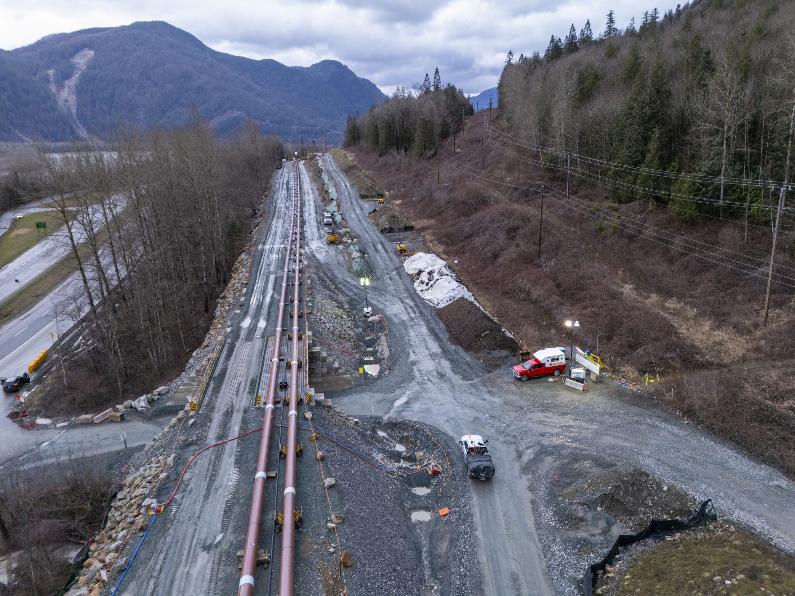
Pipeline Aerial Surveys:
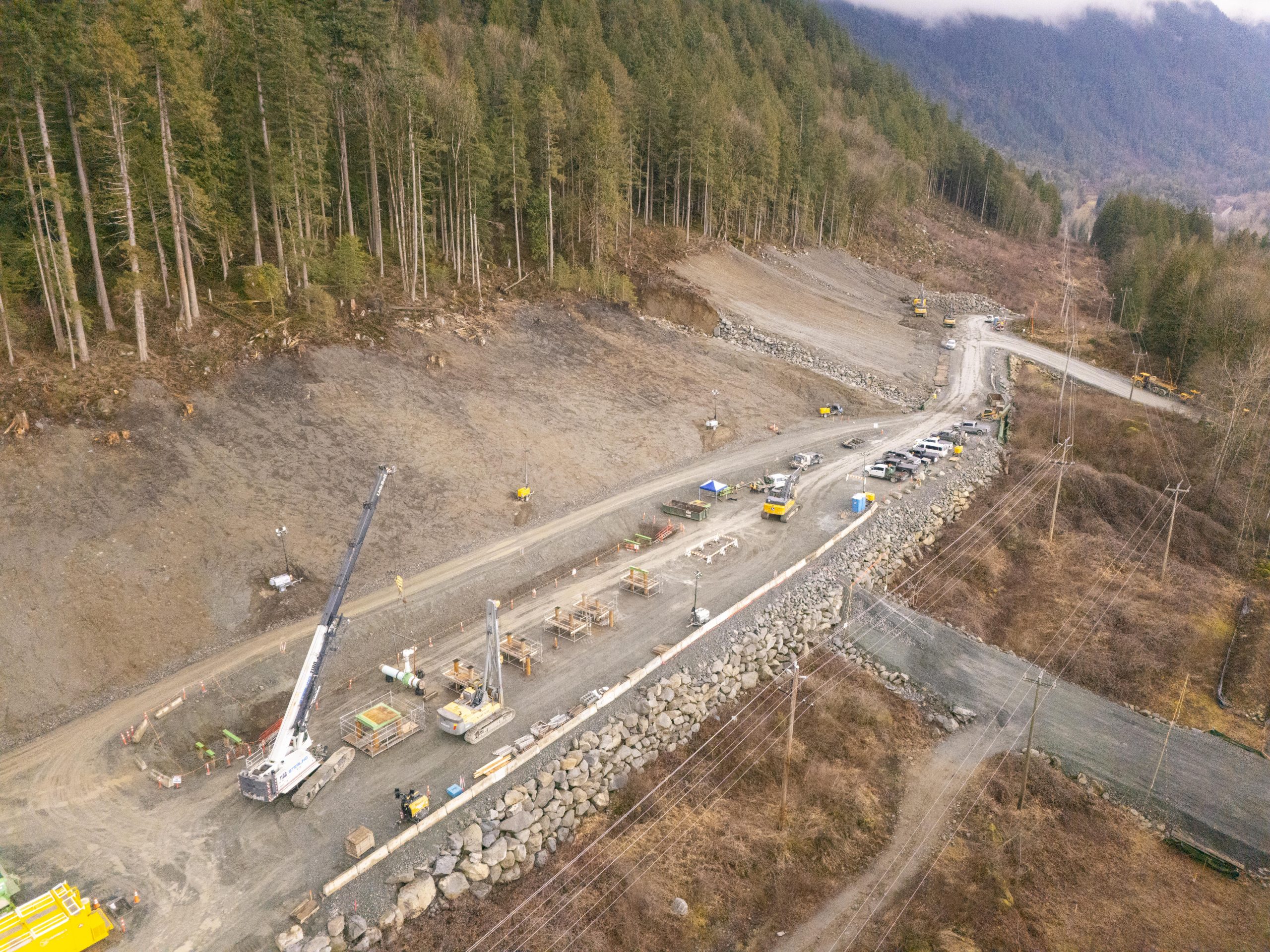
WE offer drone services for rapid corridor mapping, right-of-way monitoring, leak detection (visual + thermal) and vegetation encroachment assessments with geo-tagged imagery for asset management.
Typical tasks:
- High-resolution oblique & nadir photography
- Thermal anomaly detection
- Orthomosaic & volumetrics on request
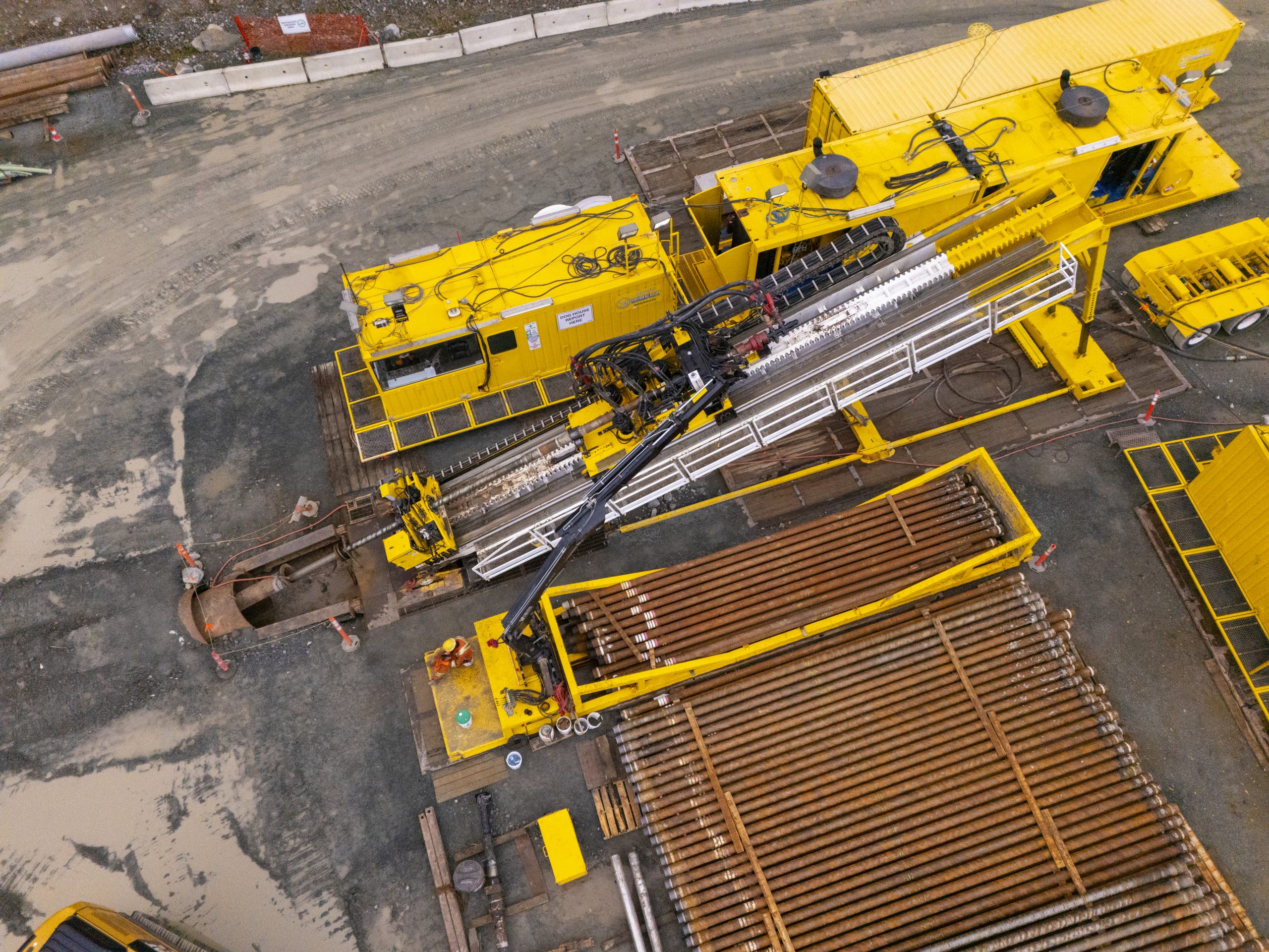
Oil & Gas Facilities:
Flare stacks, storage tanks, valve assemblies and access roads captured for integrity checks, corrosion monitoring and incident investigations.
LNG Terminal Inspections:
Non-intrusive inspections of loading arms, piping, mooring points and safety infrastructure using high-res video and thermal imaging to identify leaks and insulation failures.
Video Documentation & Incident Forensics:
Stabilized cinematic video, slow-motion capture and time-synced photographic logs for investigations, insurance claims and regulatory reporting.
Typical Deliverables
- Geo-tagged high-resolution photos (JPEG) — filename suggestions below
- 4K stabilized video clips (MP4) with timecode
- Thermal Images and Thermal Video
- Thermal report (PDF) with annotated images and temperature readings
- Orthomosaic / DSM / 3D model (on request)
Equipment & Compliance
We operate Transport Canada-compliant RPAS platforms with industry-grade thermal sensors and high-resolution RGB cameras. All pilots are certified and insured for industrial operations.
Cameras
- 20MP+ RGB sensors for detailed imagery
- Radiometric thermal cameras
- telephoto lenses for 7x zoom for detailed views
Q: Can drones inspect pipelines in adverse weather?
A: We operate to strict weather minima; certain wind and precipitation levels prevent safe flight. For long corridors we plan flights in short windows of acceptable conditions.
Q: Are thermal images accurate for leak detection?
A: Thermal imaging is a powerful screening tool. For confirmed leak detection we recommend follow-up ground-based testing and multi-sensor validation.
Q: Do you provide raw footage and reports for regulatory use?
A: Yes — we deliver raw files, time-synced video.
Book a Drone Inspection
© 2025 Aerial Vista Productions — Certified RPAS Operators in BC
“Thank you for the scenic marketing photos, they worked perfectly for my website!